One of my goals in this whole hiking the IAT thing is to update the GD Guthooks map. Other than the road walking, one of the clear barriers for entry into this adventure is the lack of information regarding important waypoints like water. People have clearly hiked these paths before, even left comments, most of which are outdated or not helpful. Saying, “cool bridge” on a water source doesn’t tell me anything about whether water is there or what it looks like. A lot of what we are going on is gut feelings. Not a great thing when you’re running 3 miles to a water source and it’s 8pm.
Another factor to help keep me motivated in updating Guthooks information is our “friends”. Chicka & Sunsets, just a few days back. I put friends in quotation marks because we have never actually met them, I have never directly communicated with them, it’s been all Brianna except for my Guthooks notes. They posted in the IAT Facebook group that they would be starting a couple days behind us, so Brianna started chatting Chicka up and they been talking ever since. I’m told that Chicka and Sunsets run a hostel on the Appalachian Trail, are pretty popular in the trail community. They have videos on YouTube that you can check out!
More so to the point – if I can help take some of the gamble out of Chicka & Sunsets’ daily plan by updating waypoints as we go, I’m more than happy to help!
The first 75% of today was finishing the long road walk. We ran into a quaint little bar around mile 8, Diane’s Back 40. We stopped in for a beer and some pizza. It’s a really nice bar with pool tables, darts, stuff like that. The pizza was delicious and Diane even filled our water bottles back up before we hit the road. Thank you, Diane!
About 2.5 miles after the bar and in the heat of the day, we ran into Lublin Park; a great place to stop and take off our shoes and socks for a bit. Bathrooms with flushing toilets and sinks with running water, who could ask for more? We sat for about an hour on a swinging bench, chatting with Mel (Brianna’s dad) on the phone for a bit before heading back up for the final 3.5 miles of road.
By the time we made it to the Lake Eleven trail segment and off the road, it was about 2.5 hours until sunset and we had a decision to make. We each had about a liter of water left and the next mapped water source was 5 miles away. We could camp where we were with enough water for dinner and sleep or press on to where we hoped was water, where we hoped there would be a camp spot. We risked it for the biscuit. I could say it was adventure that pulled us forward, the sense of not knowing how things would play out… but let’s be honest, it was really about having enough water for coffee and breakfast.
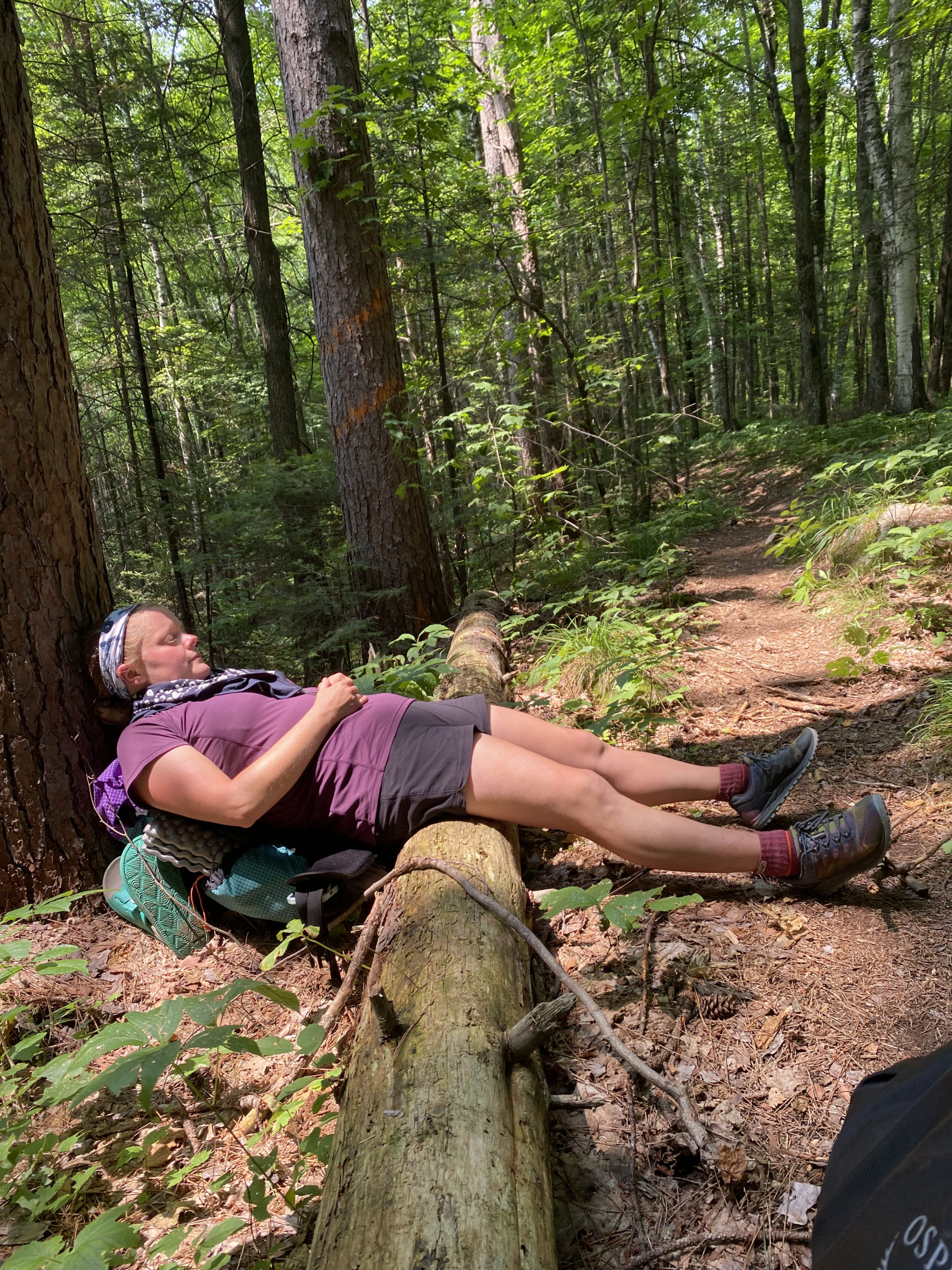
Brianna led for the first two miles before asking me to go ahead as she slowed down. I looked back after about another mile and saw a bus with the letters S-T- R-U-G-G-L-E written on the side and Brianna was riding it. I didn’t pray, because I am not a prayer, but I did wish upon a star because, theoretically, it shouldn’t matter where you are.
This time, we got lucky. About a mile before reaching our 5 mile goal, we ran into a beautiful bridge with camping and a slow moving stream underneath. Home for the night, tent up before sunset.


