Day 1 of Cascade Locks to Trout Lake

The day to actually begin hiking came and my ability to pretend patience was nonexistent. It’s not that I was in a rush to get out the door, I just didn’t have any desire to wait around once our to-dos were to-done. My hiking pack, plump with supplies and sitting lazily on the edge of the bed, was laughing at me. It was the kind of deep belly laugh that can only come from an antagonizingly evil piece of hiking gear.

~The 3 hours time difference must be getting to my head.

Conselation Prizes

Today’s hike was awesome. It would have been really cool to start at the Canadian border as we had originally planned, but starting at the Bridge of the Gods was no second place. The bridge is free for pedestrians to cross, but there are no walking lanes. Cars swerved around us at slow speeds as we walked over metal grates large enough to swallow a dropped phone into the river below. My body was tense for the first few minutes, deathly afraid my phone would pop out of my pocket, but was eventually able to relax and enjoy the views.

Unlike other hikes, Brianna and I will be hiking with a lot of other people on the trail this year. We met a couple from Canada, all loaded up with their packs on, right before starting the cross over the bridge. Nice to meet you, Jupiter and Hanna! They are taking it at a slower pace than Brianna and I, because Hanna is new to the hiking world. Two of many people we will meet on this journey and quite possibly never speak to again.

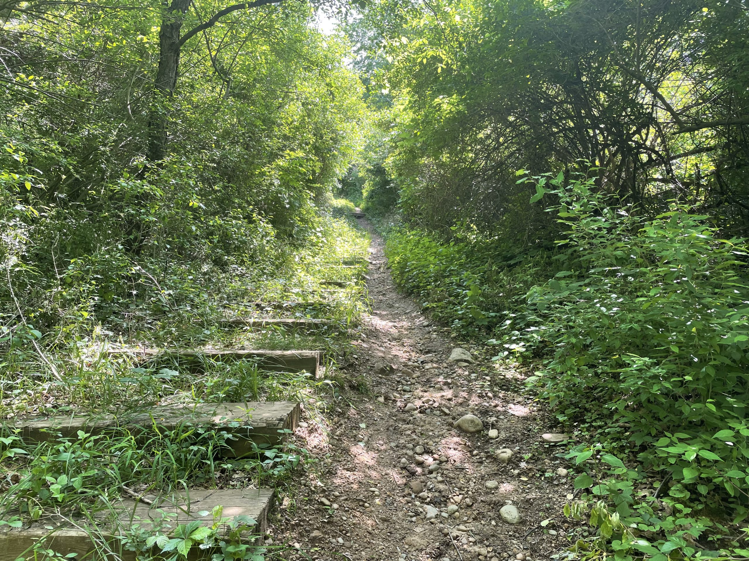
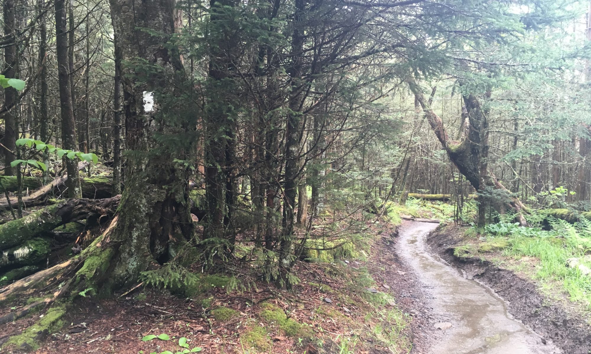
Trail was fairly easy hiking today. Lots of ups and downs paired with some overgrown paths that were mostly well maintained. There is so much poison oak out here that I’ll die of a surprise if I don’t already have it. My knee-high socks and shorts have saved me from poison ivy during our previous hikes, there is just too much of it here. I’d recommend full pants to anyone planning to come out this way, which would also help with the stinging plants I encountered.

One thing I have already noticed about the PCT, as compared to the NCT & IAT, is that there are very few trail markers in Washington. The Ice Age Trail had yellow blazes on what felt like every other tree.  The North Country Trail had blue blazes at least every quarter mile, even in the most remote regions. The PCT has metal signs every once in a long while, but no blazes whatsoever.  A lack of blazes is not a big deal when the trail is as obvious as it has been today. I can definitely see how people get lost in the snow though, if you can’t see the trail… you’re screwed… or you’ve got a GPS app open all day long.

Tonight is the first night of Brianna sleeping in her own hammock tent and me solo in our large Triplex. It’s weird. We’ll see how it goes.
Cascade Achievement Unlocked

Concerning Our Arrival

We have arrived at Cascade Locks.

A mixed drink of shaken emotions hit my lips upon our arrival at Cascade Locks. I’m excited to have arrived at our starting point, and anxious about what is to come. I feel confident about a couple of things:

  1. Our first few days will be mostly clear of deep snow.
  2. Everything after our first few days will have areas of deep snow.

Snow tops my list of current concerns. Snow is the persistent variable among so many other variables, and I wish that it wasn’t monopolizing my every waking moment, but unlike the weather and wild animals, I know it’s there now and will still be there later. The PCTA snow maps and reports from the trail make it clear to me that we will be skipping some sections because of snow, I’m looking at you, Mount Adams. 

I am excited to lace up my shoes and pull up my socks, but in my heart of hearts, I know our path will not be contiguous. The shoes and socks will come off many times before we’ll be allowed to keep them on. It will probably be several weeks before we can get into any kind of hiking rhythm, assuming we make it that far… and then there will be wildfires to contend with.

Let’s not forget trail rule # 74 – the thing that will get you is the thing you never saw coming.

Not Alone

Thank goodness for Penny & Curt! Their 2 weeks of support will be a huge difference between us and other SOBO hikers. We have cold-weather gear in the truck that can be easily packed and unpacked. We have a ride back from the trail if and when we need to turn around because of snow, high waters, or whatever else can and will happen.

While I have not seen reports from the PCT Facebook & Reddit groups I belong to mentioning plans similar to ours, I expect we will run into other hikers early in this adventure.  Some hikers will be attempting the route we are, others may even be coming back from a failed attempt at the Indian Wilderness area. If I was a solo hiker attempting dangerous snow sections, I’d try to latch onto people like us.

Road Reflections

The trip from Michigan to Cascade Locks was a lot of fun. I learned that driving through North Dakota is basically the same as driving through Nebraska until you reach the Theodore Roosevelt National Park (the only national park named after a single person), where the mountains and prairie badlands take over.

Montana makes for a wild road trip, with its 80mph highways and insanely curvy mountain roads. There is so much wilderness in these parts, it’s difficult to wrap my head around what we would do if we lived here, spent a winter here. Seeing sights like Montana makes prioritizing how and where to best spend the unknown amount of time each of us has left on this Earth into an impossible task. From popular parks to hidden trails and fishing holes, there are so many things to do. Take care of yourself, Missoula, we will be back.

Washington state managed to surprise me, even though I have been there a few times, for both work and recreational purposes.  Until today, the Seattle area was the only spot I had ever been to, which is full of lush green trees and surrounded by water. Seeing that the eastern part of Washington is desert surprised me. It shouldn’t have, I lived right around the corner in Idaho for over two years and it’s basically the same geography, but it did.

It’s finally time to hike! 🎶Off we go into the wild blue yonder🎶

PCT Travel Days

Stepping Away and Back Again

Leaving home was difficult. Penny and Brianna had the truck fully packed well before noon. This gave me a lot of time to sit and think about what I might have forgotten to pack, which from the perspective of someone who didn’t help do any of the packing, is an especially pointless venture. Brianna and I have moved 7 times in our 12 years of marriage, so we have a lot of experience with packing up and saying goodbye, but it’s more like a foot blister that must be endured than it is a skill that can be perfected. Separation is the reaction to an action, the prime unavoidable consequence for any and all who would be so bold as to create personal connections.

Our first few travel days have been pretty uneventful. Crossing the Mackinaw Bridge during a high wind advisory Thunderstorm at 0100 in the morning was fun and sleeping in our yurt at the TikiRVPark in St. Ignace was more comfortable than a hotel room. The yurt had a bed and some end tables inside, we had to bring our own bedsheets and use our sleeping bags for blankets.

Taking the northern route to Washington made the first couple of travel days into a pilgrimage of sorts. We drove by the Western UP section of the North Country Trail that we hiked back in 2020. The road through northern Wisconsin had us crisscrossing towns and trails we were in and around during last year’s Ice Age Trail adventure. I don’t think the intent of Penny’s planned route was to pay homage to the adventures that came before, but it’s been a fun drive down memory lane.

Road-trip Itinerary 

  • June 30 – St. Ignace, MI
  • July 01 – Barron, WI
  • July 02 – Glendive, MT
  • July 03 – Missoula, MT
  • July 04 – TBD

Q&A

With many uneventful hours ahead of me in the car, I wanted to take this time to answer a few blog-related questions. 

Q1: What is the difference between the Wanderingmindfully blog and TheTrek blog?

A: Not much.  TheTrek blogs will post 24 hours before Wanderingmindfully, the content will be mostly the same.

Q2: Why are you posting daily blogs in two different locations?

A: I applied to write for TheTrek because it felt like a fun opportunity to reach a large audience of people who also enjoy hiking. TheTrek liked my style and accepted. 

Q3: How much do you get paid?

A: $0.  TheTrek ads on my pages do nothing for me. While I do not get paid for writing on TheTrek, I will say that it has brought a lot of value to me as a writer who uses WordPress – they sent me a 30-40 page pdf document for how to use features and how to write effective posts. Community win!

Q4: Why keep writing @wanderingmindfully.com?

A: It’s my page to do whatever I want with.  I’ll stop posting at TheTrek long before I ever stop posting on my page. Plus, ads are dumb, friends and family should have a non-ad option.

The Long Trail Deployment

New Travel Plans

We are leaving Michigan for the Pacific Crest Trail late at night on Thursday, June 30th. The new plan has us heading up north and crossing the Mackinaw Bridge under the cover of night. With the 4th of July weekend starting at the same time our journey is, it seems logical to cross the bridge before all the other Michiganders do. Our chosen road trip to Washington state will take three days of travel and pass through the northern most United States, States I have never been to, which in and of itself is fist-pump worthy.

The new hiking plan is to start northbound from The Bridge of the Gods on July 5th, which is on the Oregon-Washington border. Snow turned our original plan to shit. Hiking from the Washington-Canada border is more possible today than it was three weeks ago, but still, not a situation Brianna and I want to put ourselves in. This new plan cannot completely sidestep the snow, only time can do that, so the real purpose of this approach is to buy time.  The first four days of hiking *should* be mostly clear of snow, buying us four more days of melt before reaching the deeper snowpacks of Indian Heaven Wilderness. In the event the Indian Heaven Wilderness cannot be safely hiked, Penny and Curt will be there to pick us up.

Military Memories

This past week has brought to me a lot of feelings I had not thought to feel, however much sense they might make now. With all of the people in my life asking to see me one more time before I go away, it’s brought back a lot of predeployment military memories. Choosing to go on a 3-4 month hike through the mountains IS NOT the same as going on a 3-4 month deployment to Pakistan, or the 14 months I lived in Kuwait, but it does have a lot of the same feelings. Kiss your dog goodbye and tell your friends you love them, it’s going to be a while.

The 2002 & 2004 versions of myself would have had a hard time understanding why I would sign myself up for a voluntary deployment away from everything I know and love. It occurs to me that this similarity could be one of the healing factors for veterans seeking to recover on the trail after wartime experiences. As enlisted Airmen/Sailors/Marines/Soldiers, we didn’t have any control over when we left, when we could go home, or anything in-between. Much of what happens while out on the trail is out of our control, too, but we at least have the power over why we are there, have the power to leave if we so choose.

Even if you believe that control is an illusion, the absence of control is most certainly not.

**If you have subscribed to my blog on The Trek and have not received any email notifications – they should enable after this 3rd post.  

***My next posts will come from the road.

****Happy Trails!

Pre-PCT Post #2

Risk Management

Once you’ve got the PCT permit in hand, there’s nothing left to do except everything else. With so much else going on, today felt like a good day to get a 10 mile practice hike in on the Waterloo-Pinckney trail. This trail isn’t a mountain, but it’ll do. I love to write things out while I’m hiking.

Our PCT start plan is a little easier than the average hiker’s.  A support crew of fellow hiker family members is driving us to the starting line. I use the words ‘starting line’ instead of ‘trail terminus’, which is where the trail actually begins, for a couple of reasons.

  1. It is impossible to drive to the PCT northern terminus. It is about a 30-mile hike from the nearest parking at Harts Pass (60 miles round trip).
  2. It’s a high snow year and we, as of yet, are unsure where we will be able to start hiking safely. Tracking snow levels here – https://www.nwrfc.noaa.gov/snow/snowplot.cgi?HRPW1

A family-size safety net is nice. How one goes about using that safety net to make the best decision is still a complicated equation. 

On our Ice Age Trail hike last year, Brianna and I learned that we view the completion of a trail quite differently.  Skipping a couple of hundred miles south and missing the northern terminus would be a bummer for me, but not a big deal in the grand scheme of things. For Brianna, skipping that much trail without a high level of certainty about what the actual conditions are would be very hard.

My risk aversion and Brianna’s risk acceptance generally balance each out.  The PCT will test this balance like never before: snow, wildfires, heat, altitude, storms, and the unknown situations that pop up when you’re in the middle of nowhere with not many people around. Centering my life around the existence of these dangers requires a high-risk acceptance, but once we are out there, I quote Chucky from the Rugrats cartoon a lot – “I don’t think that’s such a good idea, guys…”

This, That, and the Other Thing

If I don’t have a nervous breakdown in the next 19 days, it will be a miracle.  Maybe the breakdown bar is too low, perhaps I should aim for at least 2, no more than 3. 

The leave of absence gift given to me by my awesome workplace comes at a cost. Everything I am involved in leading must be handed off to a person of my equal management level before I go. It’s not a whole lot different than if I was quitting, really. I love the people I work with and the only feeling stronger than my desire not to screw staff over is my need to take the stifling collar off my life and run free. Quitting would be easier, but I don’t want to quit, I just want to live differently for a while.

Deciding to hike this year was not easy. It’s never a good time to make a big life decision, there is always a prudent reason to wait. While we do not have any kids, I like to compare thru-hiking to that level of a life decision. The economy will never be perfect and it will never be the exact right time to forever upend your life. Maybe it’s all in my head, but it feels like the people judging us poorly for these life decisions would not be treating us the same way if we were taking a few months off to have a child. We would not have been able to predict $5+ gas prices any more than we would have a shortage of baby formula.

Why Do We Hike?

My purpose in covering all of these pre-hike topics, in addition to testing how the Trek online blog works, is to set the stage for what this online journal will be. Brianna and I are just ordinary people trying to enjoy life in extraordinary ways. We are not hiking the trail because of a tragic life event that made us realize that every moment we get on earth is precious. We have lost important people, and their ghosts are with us always, but they are not leading the way. I am a veteran of the 2000-2006 era but am lucky enough to not have PTSD, to not be hiking the trail for that reason.

I drove to a live audition in Detroit for the TV show Survivor back in 2019 and found myself to be both uplifted and dejected by the inspirational stories people had for wanting to be on the show. It made me feel like I was not good enough, that my reasons for the things I do were not good enough. And so I write from the perspective of a normal person with a level head who likes to tell stories. Most of my posts will focus less on trail conditions and how-tos, and more on meandering thoughts, momentary feelings, and the crazy shit that happens in between.

There will likely be one more post before we pack up and leave Michigan on July 1st.  TheTrek requires three posts before certain blog features enable and I would be remiss not to test them before we head out for northern Washington.

Dreams Change as the Trails Change

In The Beginning

Dreams change. When Brianna and I first hatched this plan to start thru-hiking, it was an idealistic dream of escaping what was for a journey into what could be, what should be. We had achieved a moderate amount of success in our life goals up to that point, but none of the things we had acquired were equal to the happiness found on the trail. Our annual trips to the Smoky Mountain National Park made us feel more alive than the 50 weeks we spent working to get there ever could.

Like so many others, the trail became the beacon of light we would look to after a stressful day at the office. The hate we held for our jobs did not negate our need for the money they paid us, the funds we needed to save to make our dream come true. Weeks turned into months, months into years, until a funny thing happened. Time is the river of our lives, carrying away our baggage-filled debris, forcefully cutting us into the shape of tomorrow. By the time we had enough money to safely quit the jobs we both hated, I had grown to love my work and the people I worked with. What had started as a middle finger to society’s rules had grown into a much more complicated decision.

What does a person do when a thing they love is preventing them from doing a thing they love? I spent a lot of time thinking about this very question. Pandemic lockdowns and uncertain trail conditions allowed me to delay this decision for a couple of years, until the beginning of 2022, when the murkiness began to clear up. 

January 2022

Brianna lured me into applying for PCT permits in January of 2022. She would say, “Getting permits doesn’t mean we have to go this year, but not getting permits means we definitely can’t.” I knew in my heart of hearts that the inverse was also true – if we wait in the digital line and get the permit dates we wanted, ready or not, this would be the year we thru-hike the PCT. The process for securing a PCT permit required little more effort than signing into their portal 5 minutes in advance of the start time. Shocker, we got the early July permit dates we were shooting for.

Internal strife over leaving a job I love filled my days and my nights with terror. Sometimes I think ‘Dichotomy’ would be a better trail name for me, because I am always overthinking decisions, and people could just call me ‘Dich’ for short. Push came to shove and I did finally make a decision – I would let the employer I have been with for over a decade know that my last day of work would be July 1st. That would be that and everything else would be trail preparation.

The thing about decisions made in a bubble is that the forces outside of the bubble often have opinions, too.

Moves and Counter Moves

When notified of my life plans and the separation they would require, my employer, my amazing supervisor, decided that I was worth waiting for. Humbled and eager to overcome my latest bout of imposter syndrome, I accepted the opportunity to return to the job after my thru-hike and the conditions required to do so. The only thing more difficult than planning for a 4-6 month trek on the trail is… Everything else that also needs to be done.

Life decisions in my 40s are less about throwing caution to the wind and more about risk assessment and risk mitigation. Maybe I can balance work and play in a way that will allow me to do both? Less than 30 days until we leave for the trail, so I guess we will find out together.

IAT TRAVEL DAY 1

Let the adventure begin. Unfortunately, the tales of me going on Survivor have been greatly exaggerated. I did an in-person audition to go on the show, they just never called me. The whole audition experience left me feeling like I’d never have a real shot at going onto Survivor, I’m just not that interesting of a person. All the other people auditioning had emotional stories, the kind of thing TV producers and the American public eat up. Ironically, the most interesting thing about is my inclination to go adventuring, and that is what Brianna and I are actually doing for the next two months, the Ice Age Trail in Wisconsin!

Today was leg 1 of 2 travel days before we begin the hike on Tuesday, July 6th. We planned to load up and leave the farm by 0900 this morning and managed to actually be on the road by 1000, not bad for a party of six people in three vehicles; Penny & Curt, Brianna & Shauna, Rick & I. The drive up for me was very enjoyable, I pretty much slept until we arrived at the Rusty Spoke Brewery for lunch, then nodded off and on throughout the drive down US 2 to Escanaba.

We have two rustic sites at the Pioneer Trail Park in Escanaba tonight. It’s a huge homey feeling campground that has been surprisingly quiet.

IAT GEAR LIST – https://lighterpack.com/r/kka6yg

IAT TRAVEL DAY 2

Late night 4th of July fireworks made sleep difficult for all of us, some more so than others. Rumblings from a pop-up thunderstorm woke us all up around 0530, but it only brought a light drizzle along with it, more bark than bite.

On the road by 0730, this time I was driving while Rick caught up on some sleep. Rick and I took off a little bit earlier than the rest of the crew, as we had a side mission to bury a resupply cache on the trail we’d be passing just 20 minutes north of. The cache has two days worth of breakfasts, lunches, dinners, snacks. If things play out the way we hope, we will only be carrying four days worth of food on that stretch of the trail, rather than six. It might not seem like a big deal by the numbers, but it’s about a four pound difference over a 120 mile stretch.

After dropping the resupply cache at the secret location, we finished the drive to where we planned to stay the night, Big Butternut Campground. The problem with our original plan was that a guy in a camper had arrived before us and setup shop in our spot; a corner spot on a hill with shade. After we reported the problem to the campground and talked it out, the douchey dude ended up keeping our spot. The spot we were given in replacement was right next to our old spot, but no shade, between other people, not great, which is why the douchey dude stole ours to begin with. Long story short, we didn’t want to stay there next to them and try to make a square peg fit into a purple elephant.

Somethings work out just as they were meant to, they just take the long road to get there. Our new home for the week, Do Nothing Campground, has us in a rustic corner by ourselves with plenty of shade. The bathrooms are air conditioned and the showers are open 24 hours. There is even a bar here… need I say more? We have settled into our new area with brots to fill our bellies and beers to cool down the 90 degree night.

Tomorrow looks like rain. Cold rain lasting all day long. Who is up for a 8.9 mile warm up?

Day 1 – IAT Mile 0 to 8.9

Rain that was supposed to come early this morning didn’t arrive until much later.  Athena sleeps in her bed between Brianna & I in the tent and has been sleeping well when fireworks or are loud noises aren’t booming around.  Unfortunately for me, Athena’s internal clock has not adjusted to central time zone just yet, she woke me up with face kisses at 0500 and continued relentlessly until I submitted to taking her for a walk.  Athena will be heading back to the Farm in Michigan with Penny and Curt Saturday morning.  Being away from our pup for two months is not my favorite thing.

Day 1 of our 1,100+ mile hike started with a drive to the Ice Age Trail Western terminus in St. Croix Falls.  All six of us made the trip to the official plaque for pictures, only Rick, Curt, Brianna and I went onto the 8.9 miles of hiking.  Don’t get me wrong, the Ice Age Trail is what I thought it was… mostly, it’s just not exactly as I knew it would be.  What I mean is that I expected the trail to be a solid mix of trail walking and road walking, I just define road walking differently than the map makers.

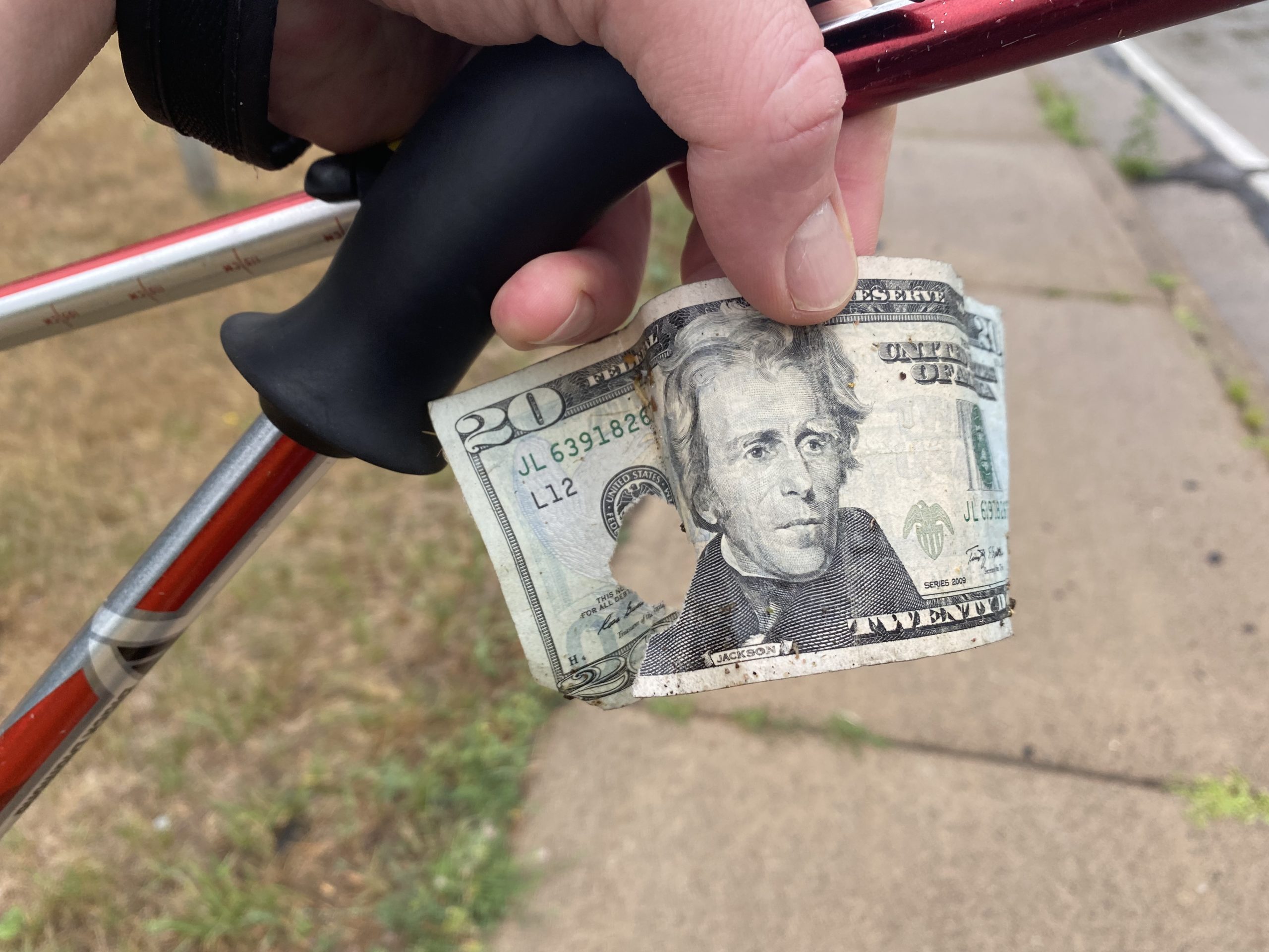
Map makers think that if you’re on a sidewalk next to a road, that’s trail.  Only when you’re walking on a road itself do the map makers count that as road walking.  I’m not complaining, I enjoyed our tour through St. Croix, especially the part where I found a torn up $20 bill on the side of the road. It’s just humbling to have spent so much time pouring over maps and not catching something that is now so obvious.

Today’s trail was immaculate.  The trail maintenance for this first part of the IAT was on point, well marked with clear paths.  Rain was light all day, cooling us more than slowing us down.  We started at mile 0 around 0900 and were in the back seat of Shauna’s vehicle for our ride back to camp just a little after 1pm, an average mph of 2.2.  My calculations for how many miles we can do in a single day take into account multiple short chill breaks and a long as we want lunch break.  2.2 mph is pretty great, right where we need to be on day 1.

My favorite part of today’s hike was the many meadows we walked through in the drizzling rain.  The smell of rain on pasture land and meadows makes me happy.  There were many beautiful river views, sweeping landscapes, a few difficult climbs… but meadows and horses win today.  

After the trail, we are weathering a slightly harder rain at base camp.  Our replacement rustic campground does not have electricity readily available.  Curt, Rick & I have been spending some time at the campground bar with Old Milwaukee beers, charging our phones while we drink.  This should be the last day of rain, but the electricity problem remains.  I really do not want to use my charging battery until our support family leaves.  Charging batteries would take a lot of campground beers to fully charge back up :-/.

Day 2 – IAT Mile 8.9 to 24

Hiking with a family support team changes the game.  Brianna and I only have to carry as much weight as we want, Penny cooks breakfast and dinner, the day ends with a car ride back to base camp where our tent is setup and the beer is still cold.  What’s happening right now is more like glamping than it is camping.  Luckily our goal is about the hiking rather than the tent pitching.

There are downsides to a support team as well.  Brianna and I are at the whim of four other people and their needs to poop, prepare, do all of the their camp chores.  Managing a group of people just takes more time, a bit more love and care.

The pluses of having these friends around do outweigh the minuses.  Firstly, Penny’s blueberry pancakes.  Secondly, this is the group that got Brianna and I into hiking.  10 years ago this past July 4th, Penny, Curt, Brianna & I hiked Pike’s Peak together.  We carried way too weight much for that trip and had no idea what the F we were doing.  Frozen sloppy Joes to Barr camp?  Insanity.  Since then, we have done many successful hikes across many trails.  Being together on this culmination of adventure knowledge and preparation is fitting.  Experiences are really better when shared, hopefully more visitors make their way out in the next couple of months.

Our hike started with a 4 mile road walk today.  Brianna & I are aiming to hike the entire trail, which includes the trail miles and the connecting road routes, so we can’t skip any parts.  Everyone else unanimously decided to start hiking after the road walk, where the Gandy Dancer meets up with the IAT.  It worked well in that we met up later down the trail and hiked the remaining 9ish miles together.

From the Ice Age Trail guidebook:

“The crushed limestone–surfaced trail was converted from the abandoned Soo Line railway. The name “Gandy Dancer” was chosen to honor the men who built and maintained railroad tracks. “Gandy dancers” used tools manufactured by the Gandy Manufacturing Company and, while working, followed songlike calls and melodies that helped synchronize the swinging of tools and the movement of feet as they “danced” to the next rails. The GDST connects with the North Country National Scenic Trail south of the city of Superior.”

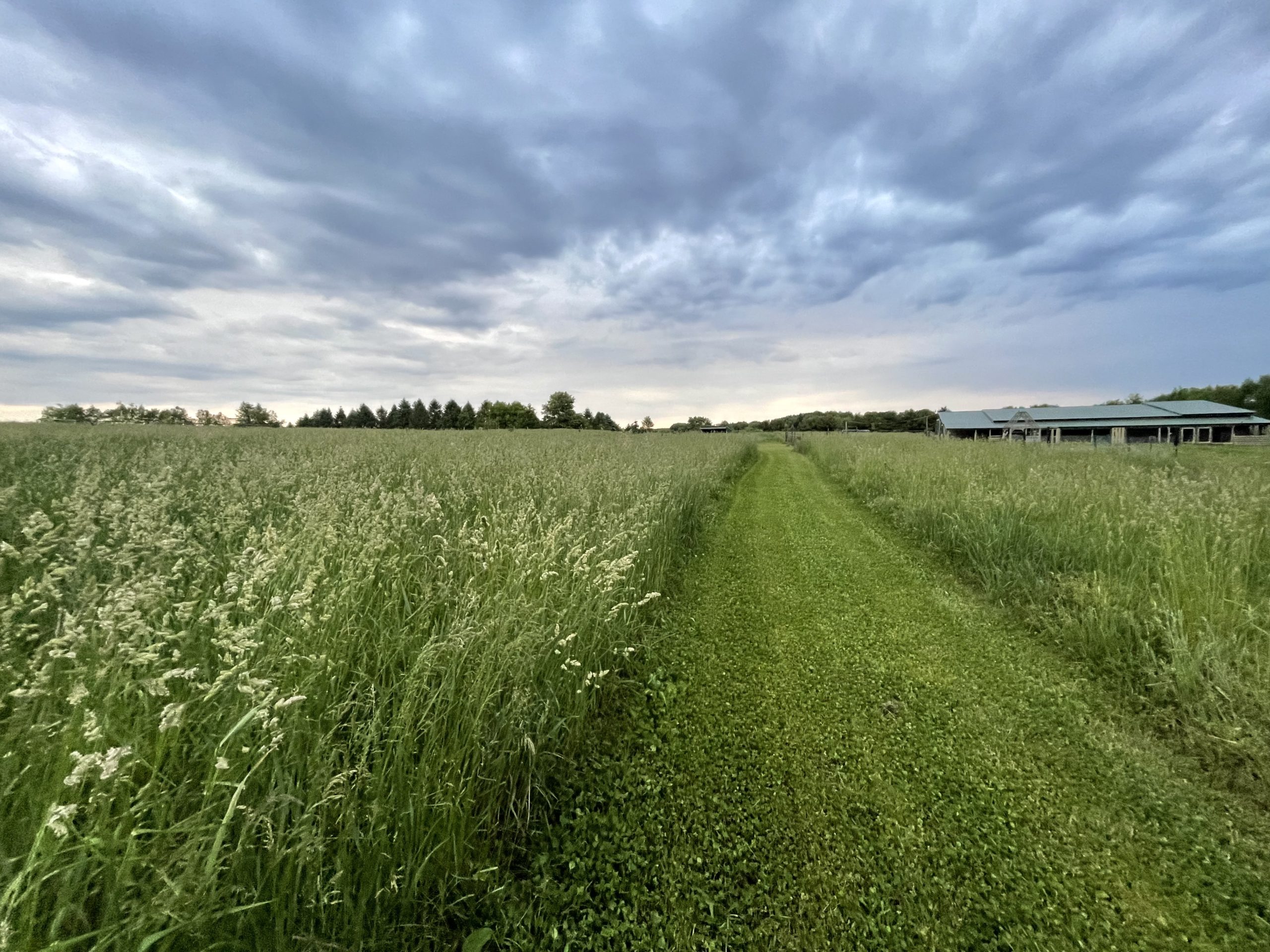
I wouldn’t normally do a copy and paste from the guidebook but it’s pretty interesting info that I wouldn’t be able to paraphrase nearly as well as they wrote it.  And also, the trail today was super flat and uneventful.  The Gandy Dancer part of the IAT is so flat and so well maintained that I didn’t have to look down at my feet while I walked.  I’ll post a picture at the bottom, it shows how the entire 10ish mile stretch looked today.  The Gandy Dancer is actually a hiking, biking, snowmobile trail.  We saw about a dozen bikers, zero other hikers.

I have my first blisters of the trail, one on each of my pinky toes.  Switching to my new Merrell MQM’s for tomorrow.  They are half a size up and ready to rock.  The shoes I have been wearing are the same MQM model, just a few years older with around 400 miles on them.

After the trail has helped show us the character of northwest Wisconsin.  Curt and I went to buy wood and ice for the camp, but quickly realized that we had bought more wood than we could carry.  The bartender, who we bought the wood from and had never met before, offered to let us drive her brand new Jeep back to our camp for transporting the wood.  Before we knew it, the bartender and a gentleman camper were arguing about who would get to help us.  Good times.

Tomorrow we hike to Straight Lake Dam!